


 FDAE maintains a full complement of GPS surveying equipment as well as the personnel necessary to provide the following services: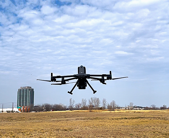
Surveying Services
- Layout Surveys for Construction
- Surveys for Record Drawings
-
Aerial Drone Survey (DJI Matrice 400 Drone)
- Photogrammetry and LiDAR
- Bathymetric Surveys
- Topographic Surveys
- Airspace and Borrow Soil Quantity Surveys
- Monitoring Well Surveys